
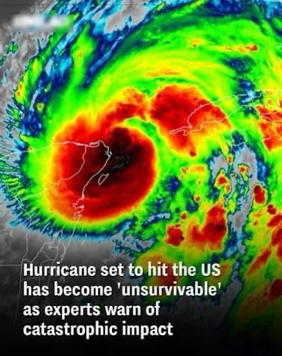
5. This storm is likely to produce a large wind field, especially east of the center of circulation. Large wind fields are a double-edge sword. On a positive note, they can slow down rapid intensification when conditions are prime for development. In other words, large hurricanes tend to intensify slower than small hurricanes, when surrounding environmental conditions are equal (besides the size). On a negative note, large hurricanes generate a broader wind field with more extensive wind impacts. They also push more storm surge flooding across longer stretches of coastline.
6. Keep in mind that all hurricanes generate broad wind fields, so residents should not focus on the exact “line tracks” in spaghetti models. Consider that such lines could represent the path of a hurricane eye, with a broad wind field surrounding it, especially to the right of the track.
7. Coastal residents should always prepare for one category higher than forecast, so right now, residents from the Florida Panhandle to West Central Florida need to take this storm seriously, and realize that cat-3 hurricane winds are a possibility in some communities near and just to the right of the eye passage.
8. This storm is also forecast to accelerate as it approaches the northeastern Gulf of Mexico, as well as through and after the time of landfall. This could mean that wind impacts inflict areas quite far inland, so residents in Georgia and even South Carolina should pay close attention for considerable inland wind impacts.
9. Storm surge inundation is always a threat from Florida’s Big Bend through the West Central Florida Coast because of the concave shape of the coastline and shallow water depth. We should expect a large and extensive storm surge in the region. Depending on the track, we could also see a secondary surge develop from NE Florida through Georgia and South Carolina.
